
MUNDOLITH OF GYLRANOR


Gylranor spans seven continents: Barbatius, Eleimora, Eradell, Hilrayn, the Naros Archipelago, Saluron, and Tinith, each inscribed in the boldest script. Beneath them, in smaller letters, rest the names of nations whose stories, whether grand or fleeting, weave through the immersive fantasy worldbuilding of A Story of Gylranor.
Choose a sigil below, and behold the fantasy landscapes and regions shaped by the hands of Inilizul the High Crafter, who breathed life into Gylranor’s every mountain, sea, and tree.
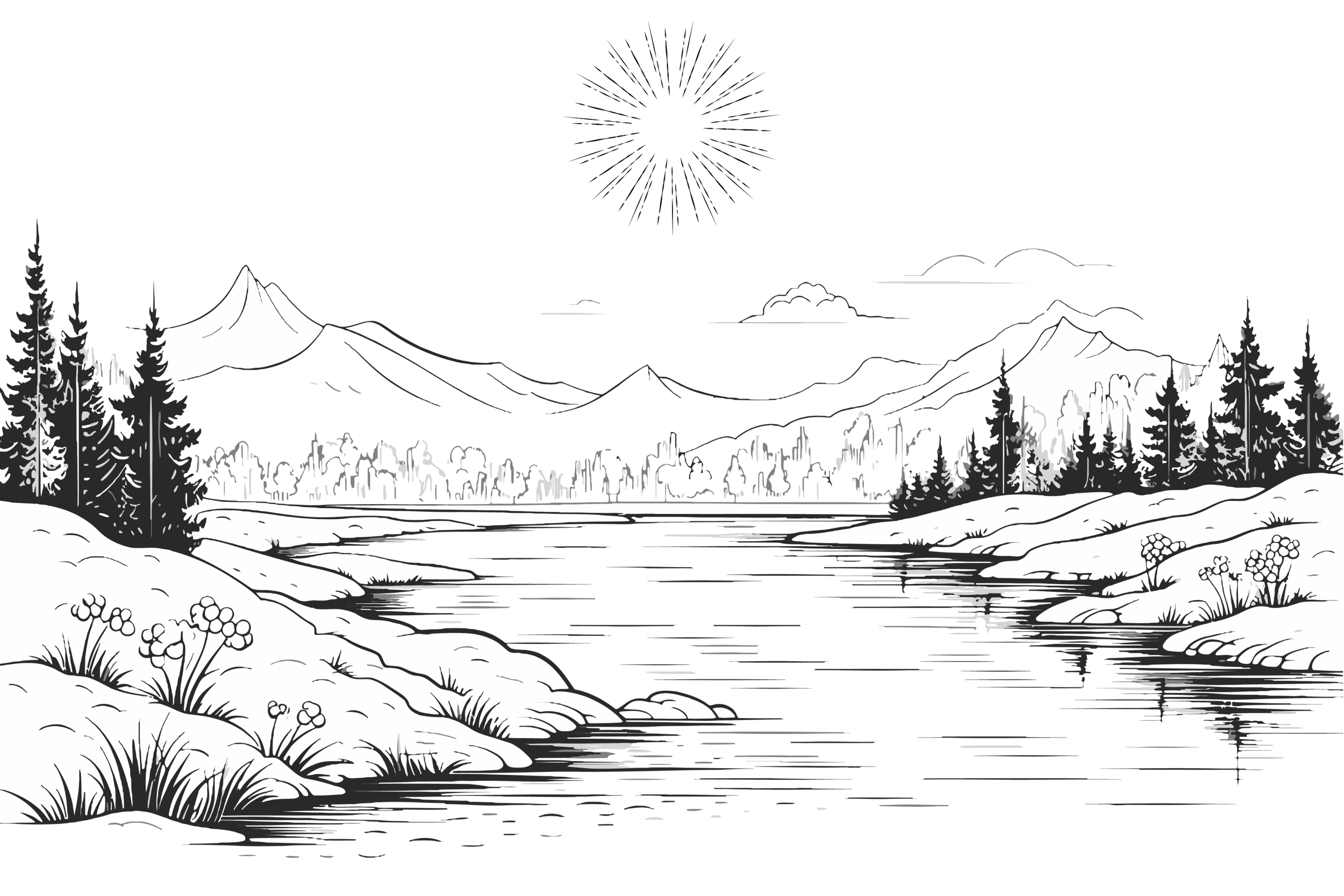
The Waters

The Mountains
The Forests
Click on the map above to download a copy of your own!
EXPLORE MORE
Reading Order
Unlock the reading order for A Story of Gylranor, J. G. Velez II’s epic fantasy saga filled with magic, mystery, and adventure. Discover where to begin and follow Percivine’s journey through every thrilling book in the series. Click the tome above to explore the full reading guide.

Pronunciation Guide
Epic fantasy worlds deserve epic names, and knowing how to pronounce them brings the story to life. Explore A Story of Gylranor’s official pronunciation guide to learn how to say characters and locations. Click the head above to download and master the names of Gylranor!

Journal
Explore Gylranor with exclusive author insights, creative updates, and journal entries on epic fantasy lore, storytelling, and worldbuilding. Click the spellbook above to dive into the magic behind the story.

The World
Following Percivine’s journey is thrilling, but exploring it on a map makes the world of Gylranor truly come alive. Discover every wonder in this richly detailed fantasy world. Click the map above to explore Gylranor and trace Percivine’s epic adventure.

Factions
Throughout Gylranor’s rich history, powerful orders and opposing factions have risen and fallen, shaping the destiny of kingdoms and heroes. Click the swords above to learn about the influential organizations of this fantasy world.